Moselle loop & Bremmer Calmont – fantastic views from the most beautiful Moselle hiking trail
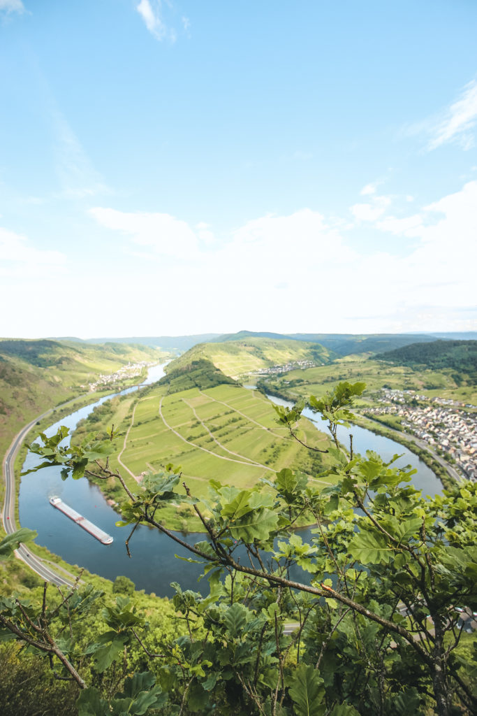
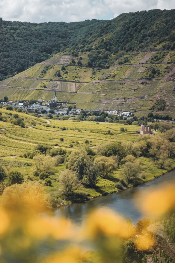
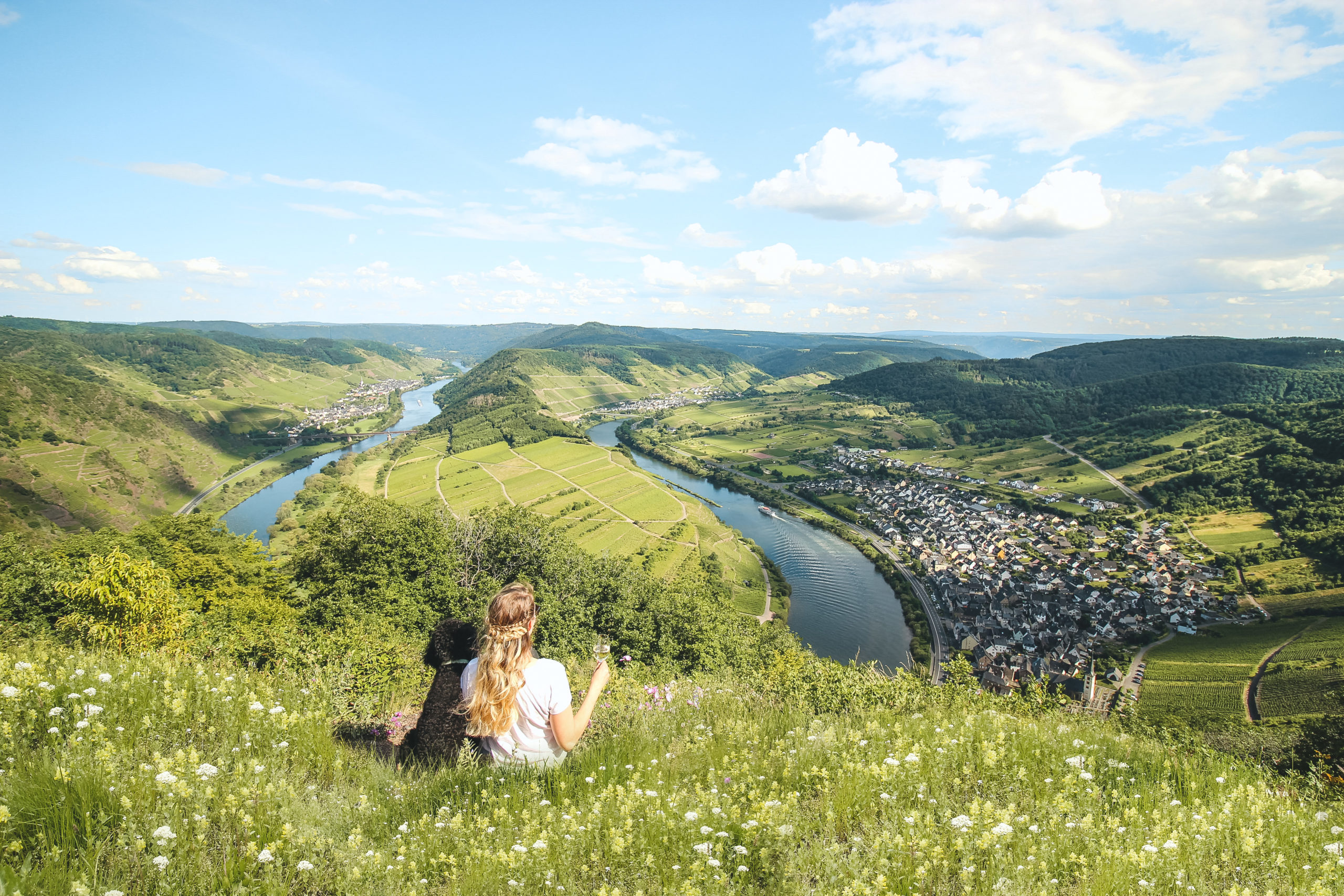
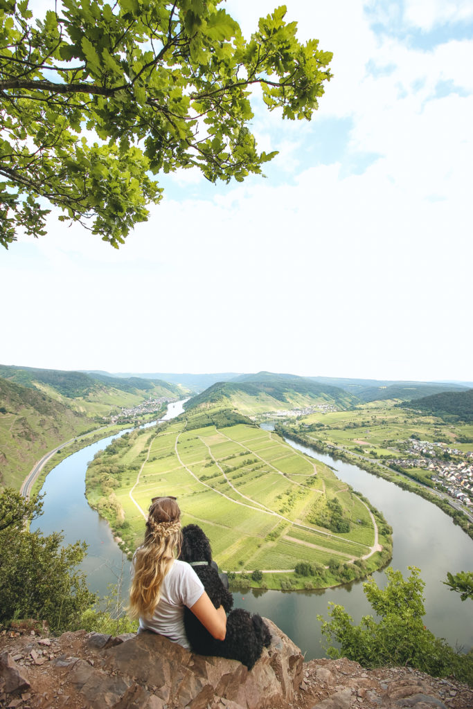
The Moselle is one of the most beautiful and diverse river regions in Central Europe. In Germany it flows through the Middle Rhine slate mountains between the Eifel and the Hunsrück. There it winds through numerous curves and the beautiful wine region. Among the many loops there is a particularly beautiful Moselle loop that lies in the heart of the Calmont region. There, the landscape forced the Moselle into a tight loop, which is unique in the entire course of the Moselle.
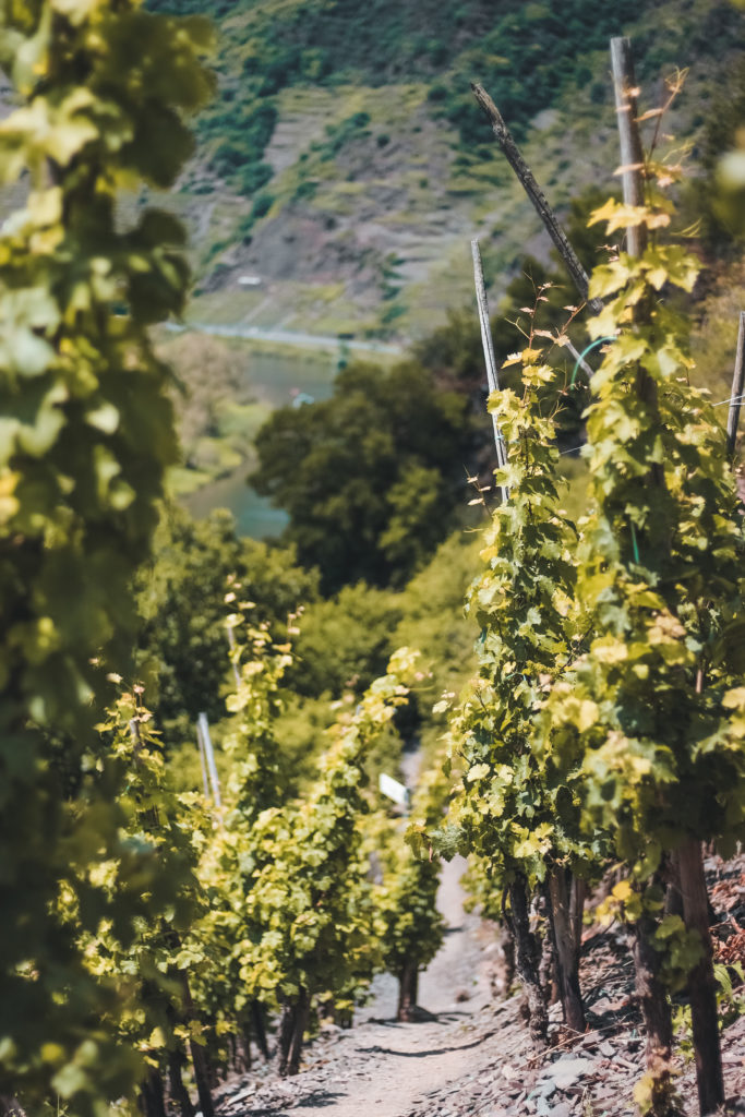
Surrounded by almost 400 million years old hard rock and thousands of vines, it flows past the tranquil town of Bremm, the old Stuben monastery ruins and the Calmont vineyard. With a height of 380 meters and an incline of up to 68 degrees, it is Europe’s steepest vineyard.
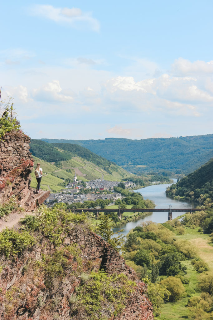
Even from below, the apparently perfectly shaped bow is very impressive and somewhat reminiscent of the horseshoe-shaped Horseshoe Bend in the USA. But the best view of the Moselle loop is from the summit cross.
On the way up there are rare plants, colorful flowers and interesting ones
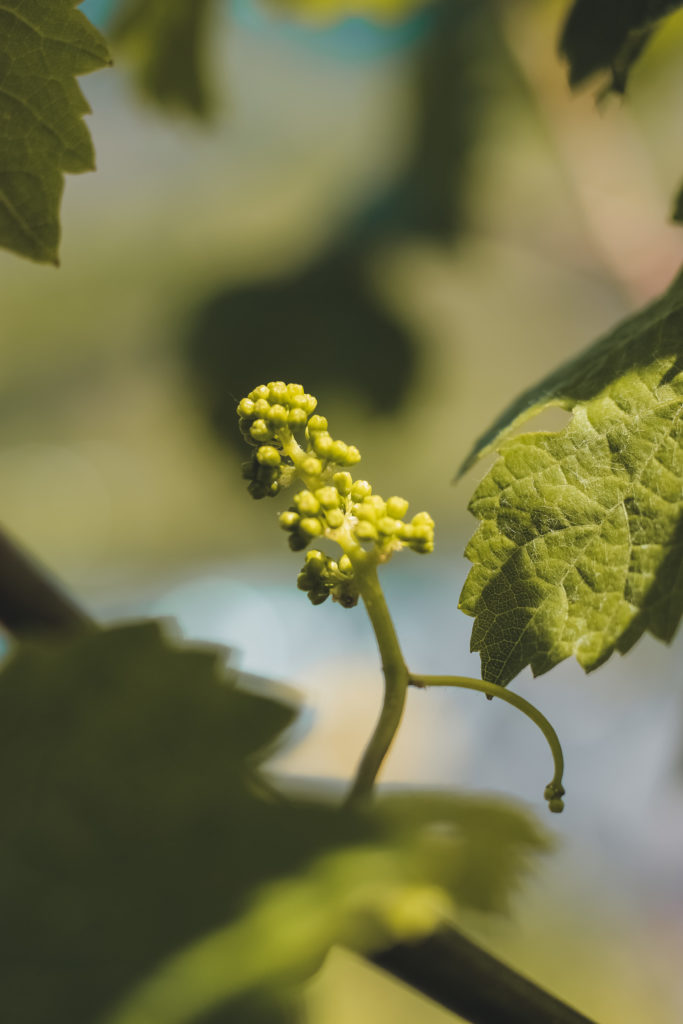
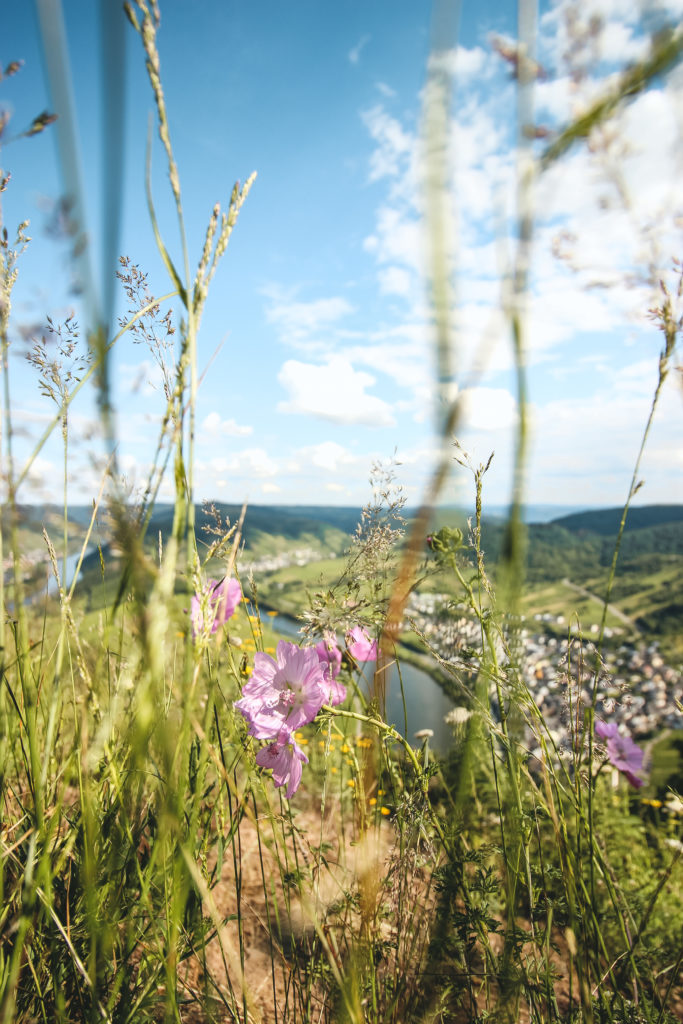
Beetles and beautiful butterflies, the narrow paths. Over rugged rock and through a sea of grapevines it goes up through Europe’s steepest vineyard terraces to the summit cross. There are always fantastic views of the Moselle dug into the valley and the surrounding wine country. Once at the destination, the overwhelming panorama over the entire Moselle loop compensates for the strenuous hike. And on weekends and holidays there is still a glass of wine from the vines growing here, on top of it.
The emergence of the Moselle
The source area of the Moselle was created around 50 million years ago. It originated in France, in the Vosges, on the Col de Bussang. As the Rhenish Slate Mountains slowly rose, the water dug numerous river loops into the rock. This is how the impressive natural spectacle on the Middle and Lower Mosel came into being.
Over a length of 36 kilometers, the Moselle forms the natural border between Germany and the Grand Duchy of Luxembourg. Once in Germany, it flows through the federal states of Saarland and Rhineland-Palatinate. After a total of 544 kilometers and 28 barrages, it flows into Koblenz, on the German corner, in the Middle Rhine.
➤ Today’s large shipping route is the second longest tributary of the Rhine after the Meuse.
From 500 BC the Celts built the first settlements in the Moselle region and named the river “Mosea”. When the Romans then occupied the region, they gave it the Latin name “Mosella”, which means “the little river Meuse” and means “Moselle” in German.
➤ “Mosa” was the Latin name for the Meuse flowing at the time.
➤ The lowest point is 16.64 meters near Traben-Trarbach and is marked with a memorial stone at river kilometer 106.
How to get to the Moselle loop
The nicer way leads over the federal roads B49 and the partially parallel B416, directly along the Moselle to the Moselle loop. The journey takes a little longer, but there is a lot to see from the beautiful Moselle region and the lively wine villages.
It is faster via the A48 motorway to the Moselle loop. At exit 4 “Kaisersesch / Cochem” the country road L98 continues towards the Moselle loop. Then it is time to keep right in the town of Cochem, which is also worth seeing. From now on, just drive straight ahead and follow the signs for “Erdiger-Eller” and “Bremm” on the federal road B49. Depending on where your hiking tour starts, you can park in one of the two places. In Bremm there are some free ways to park your car right next to the B49 and in Ediger-Eller it’s best to use the free parking spaces around the station building.
Even without a strenuous hike, it is possible to view the Moselle loop from above. On the outskirts of Bremm, take the serpentine road L 106 up the mountain towards Beuren. After approx. 4.5 kilometers you will see an agricultural road on the right hand side, with the sign “Römische Tempelanlage”. Turn in there and follow the path to the free parking lot “Calmont Moselschleife”. The remaining 900 meters still have to be covered on foot. It takes about 15 minutes from the parking lot to the summit cross.
![]()
Address & parking
Moselweinstraße
56814 Ediger-Eller
Moselstraße
56814 Bremm
Wanderparkplatz
an der L106
56814 Bremm
Entrance fee & opening hours
Both the hiking trails and the viewpoint are accessible day and night all year round. The viewpoint, the parking spaces in the communities and the hiking parking lot are free of charge (as of 2020).
 Entrance fee
Free
 Opening hours
All-season

Safety instructions Calmont
First of all: The Calmont via ferrata is not suitable for everyone and some people are strongly advised against this tour. For some, traveling by car is definitely a better and safer choice. Because many tours in the steepest vineyard in Europe are difficult and only suitable for people with good physical condition and alpine experience. Therefore, families with children should definitely take a leisurely stroll at the summit cross and enjoy the view rather than putting themselves in danger unnecessarily. The same applies to older people who may lack stamina and sure-footedness. It can quickly become very dangerous on the sometimes narrow paths. Due to self-overestimation, it often happens that an emergency call is made and the rescue workers have to rescue untrained people from the site.
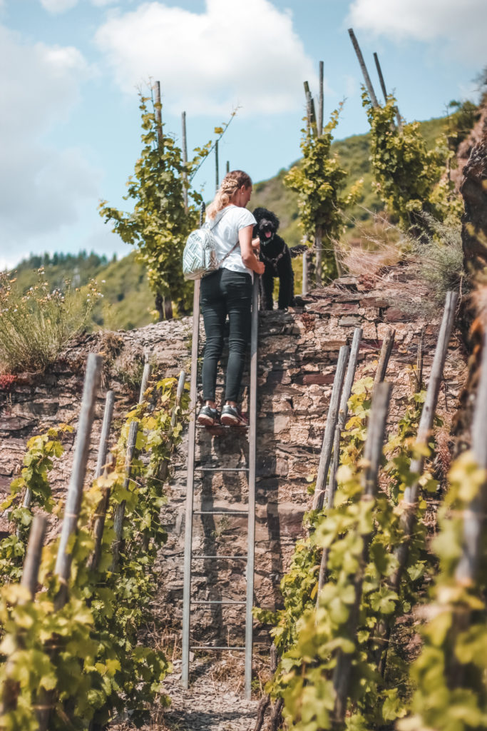
I also strongly advise against all dog owners who want to conquer the Calmont via ferrata with their four-legged friends. Insurmountable obstacles such as Ladders on the Calmont via ferrata from Ediger-Eller make a hiking tour for our four-legged friends impossible. And also because of the partly prevailing heat here, this route should definitely not be used – for the sake of our fur noses.
If you own a dog or belong to one of the above-mentioned groups of people – please do not give up now! Because around the wine town of Bremm there are a total of 62 varied hiking trails. Certainly there is a suitable tour for you too.
In addition to the information on the Calmont via ferrata, I give you a first overview of other beautiful tours in the region.
➤ In the event of an emergency, call 112 and give the so-called “chewing number”. It serves as a guide for the rescuers in order to quickly find the scene of the accident.
Tips about the hike
In order to be able to go on hiking and climbing tours, you cannot avoid sturdy shoes. In addition, you should carry enough liquid in your luggage and possibly even a hat. Because Calmont means “hot mountain” and the name says it all. The wine terraces heat up extremely quickly on beautiful spring days. And there is no shade in the vineyard. Therefore, a hike in the early morning or evening hours through the Calmont vineyard is recommended on hot days.
Now you just have to be free from giddiness and in good physical condition and then there is nothing standing in the way of your hiking tour.
The rope-lined trail Calmont
Probably the most beautiful and adventurous hiking trail leads through the steepest terrace vineyard in Europe and will definitely delight all panorama addicts. Up and down it goes steadily through the ancient wine terraces and one may not think of the efforts of the poor grape harvesters who harvest the grapes here every year. If you want to follow in their footsteps, the Calmont via ferrata is just the thing for you.
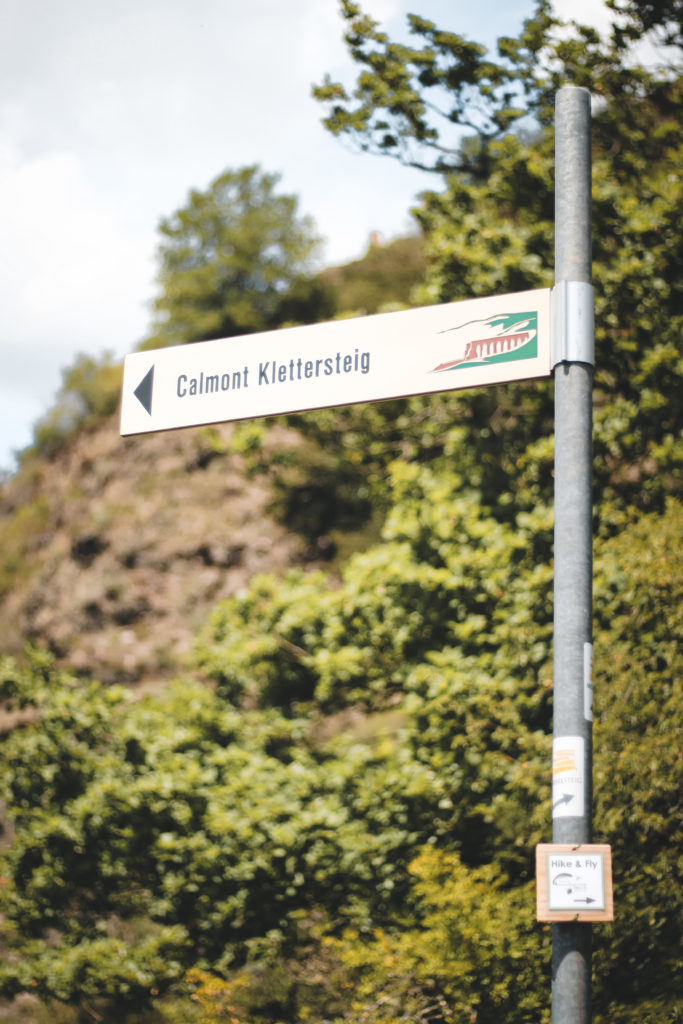
The entry into the wild terrain is both in Ediger-Eller and in Bremm. On the tour you always come across major challenges and bottlenecks, where there may also be waiting times. The striking rock spurs are overcome with the help of ladders, steel cables stop when crossing rocky ridges and there are always stirrups to be able to overcome difficult passages. In between, the fantastic panoramic views at an altitude of 200 to 300 meters reward the strenuous tour. Small huts always offer the opportunity to take breaks and gather new strength.
➤ The German Alpine Club and active citizens and winegrowers from the surrounding communities of Bremm, Ediger-Eller and Neef made the mountain accessible in a joint project in 2002.
From Ediger-Eller to Bremm – without a dog
Most hikers start the approximately three-hour tour of the Calmont via ferrata from Ediger-Eller. Directly behind the railway bridge (in the direction of Bremm) is the entrance to the approximately three kilometer long via ferrata. The narrow footpath leads to the “Galgen-Lay” refuge and past the “Amphitrion” viewpoint. If you want, you can also deviate from the main route at the refuge and hike over the “fear of death”. There is only one viewpoint behind the name – so nobody has to be afraid. If you follow the further course, you come across the main route again.
Anyone who does not leave the Calmont via ferrata will always encounter difficult sections that could not be overcome without aids. In order to be able to climb the climb, a total of 6 ladders, about 100 meters of safety ropes, 22 step stirrups and 16 step pins were attached. The difficult stages end shortly before the junction to the summit cross. At this fork you either go down via the Calmont via ferrata to Bremm or far away from the main route up the mountain to the refuge and the summit cross. Even if the last section to get there is extremely exhausting – it is definitely worth it. In addition to the view of the entire Moselle loop, a winemaker offers delicious Calmont wine on weekends and holidays, as well as some small refreshments. Then there are various options to choose from how to end the tour.
Way back along the banks of the Moselle
If you follow the Calmont via ferrata to the end, you end up in the quaint wine town of Bremm, directly behind the church. By the way, no further challenges await the hiker on the last stretch of the footpath – it only remains strenuous.
After visiting the tranquil village of Bremm, a combined cycle and footpath leads directly to the Moselle loop back to Ediger-Eller. This route takes about 30 minutes.
Way back over the Calmont-Höhe
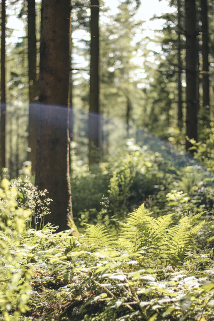
It is a leisurely hike back to the Ediger-Eller starting point. The wide forest path runs mostly in the shade and also holds a few sights, such as the Roman mountain sanctuary, the Vierseenblick and the Moselle mountain hut.
If you want to go back to Ediger-Eller quite comfortably, keep to the left and walk back over the big circle to the train station. Otherwise, the last part leads back to the starting point via the entrance of the Calmont via ferrata.
Way back with the “Calmont-Express”
If necessary, the bus line 711 goes back to the neighboring town of Ediger-Eller.
➤ Due to the insurmountable hurdles, the Calmont via ferrata, starting from Ediger-Eller, is in no way accessible for four-legged friends. The opposite route leads from Bremm over the Calmont via ferrata up to the summit cross and can easily be hiked with a dog.

From Bremm to Ediger-Eller – partially with dog
Way back to Bremm
Here again there are the three options mentioned to get back to the starting point – of course only in the opposite direction.
If you don’t have enough, you can hike back through the forest via Calmont-Höhe or use the combined cycle and footpath directly below the Moselle loop. If you still have a stop in Ediger-Eller, you can then take the Calmont-Express back with ease.
Length of the Calmont via ferrata: approx. 3.5 kilometers
Duration: about 3 hours
Difficulty: medium to difficult
Length of the Calmont via ferrata and high trail: approx. 7 kilometers
Duration: about 5 hours
Difficulty: medium to difficult
Other hiking trails on the Moselle loop (with dog)
The Calmont region is the purest hiking paradise and as mentioned at the beginning, there are 62 varied hiking trails around the Moselle loop, some of which can also be combined excellently. If you cannot or do not want to conquer the Calmont via ferrata, you will certainly find the right tour for you here.
The Calmont-Höhenweg
A good alternative to the Calmont via ferrata is the Calmont Höhenweg, which does not require any difficult sections. Only short steep ascents and descents make the tour a bit exhausting. For this, a number of views of the steepest vineyard terraces and the Moselle loop, the sometimes arduous hike, also pay off on this path.
After the summit cross, the path leads past a reconstruction of a Roman mountain sanctuary and the viewpoints “Vierseenblick” and “Angstangst”.
The way back takes you along the same path or along the banks of the Moselle.
The paths run mostly in the forest and they are excellent for walking with children and dogs.
Length: approx. 6.3 kilometers
Duration: about 3 hours
Difficulty: medium
The Calmont Summit Loop Trail
From Bremm it goes directly into the vineyard terraces and up to the junction “summit cross” along the Calmont via ferrata. From there, a narrow path leads steeply up the mountain. Once at the top, the sweatiest part is done and with a short break at the summit cross you can enjoy the most beautiful panorama over the entire Moselle loop.
It is a bit more relaxed through the forest back to Bremm. This route is also easy to walk with bag and baggages.
Length: approx. 6 kilometers
Duration: about 2.5 hours
Difficulty: medium
Through the Ellerbach valley to the Calmont
A somewhat longer, but very pleasant round leads through the quiet Ellerbach valley up the mountain. The nature reserve, with its small Ellerbach stream, can be easily reached on foot from Ediger-Eller train station.
There are no obstacles on this route and it is only a leisurely climb up Europe’s steepest vineyard. Wonderful views of the Moselle and the surrounding area are also waiting for you on this hiking route. As always, the most beautiful view is from the top and up there! After a short break at the summit cross, the path then leads past a small parking lot, where it slowly goes down to the left into the valley. On this path you hike around the small wine village and pass a mountain chapel. Finally the tour ends in the old center of Bremm.
This tour through the shady valley is particularly recommended on hot days.
The trail is ideal for children and dogs.
Length: approx.11.8 kilometers
Duration: about 4 hours
Difficulty: medium
The Moselsteig Trail stage 16: Neef – Ediger-Eller
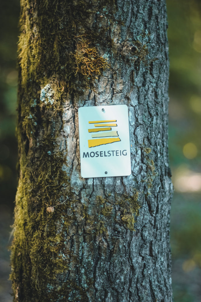
The Moselsteig meanders over a length of 365 kilometers and a total of 24 stages through the breathtaking wine-growing landscape. 11 kilometers of the trail lead through the Calmont region. The section between Neef and Ediger-Eller is the shortest stage, but it has it all. The hiking trail runs quite steeply up the mountain, onto the ridge that stretches between Bremm and Ediger-Eller. The stage leads past the summit cross, the reconstruction of a Roman mountain sanctuary and the lookout point “Vierseenblick”, before going down to the wine town of Ediger-Eller after about four hours. Both children and four-legged friends do not face any hurdles here.
Length: approx. 11 kilometers
Duration: about 4 hours
Difficulty: hard
Hiking around the Stuben monastery ruins
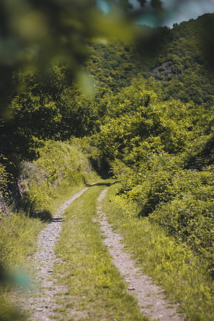
An almost level hiking trail begins in the tranquil village of Neef. The tour starts at the foot of the Frauenberg. Down the river and with a view of the opposite village of Bremm, the path runs directly on the Moselle. The view of the steep Calmont, densely overgrown with vines, is really great from the hiking trail. Stuben monastery ruins are slowly coming closer. A plaque in front of the Stuben Abbey provides information on the dilapidated church building. Then it continues towards vineyards. The Eller drawbridge and the two church spiers of Ediger-Eller can soon be seen in the distance. Now the hiking trail gradually moves away from the banks of the Moselle and soon meets a forest area. There you follow the paved path through the grapevines and ultimately get back to the banks of the Moselle and the starting point Neef. The relatively short hiking trail is particularly suitable for children and young and older fur noses.
Length: approx. 6 kilometers
Duration: about 2.5 hours
Difficulty: easy
Hike Neef – Hochkessel – Petersberg
This hiking trail leads to the second highest German Moselberg, which is one of the most beautiful panoramic mountains in the Lower Moselle. The starting point is the train station in Neef. There it goes on an economic path marked N6 through the vineyards. The path soon turns into the slope of the Neefer Bachtal valley and the ascent to the Hochkessel begins at the edge of the forest, in sweeping loops. On the summit are the remains of a Celtic castle from the 5th – 1st centuries BC. Once you have reached the top, follow the N1 marking to the signposted Petersberg. On the path there are always great views of the Moselle loop and the steep slopes of the Calmont.
Later, the Peterskapelle (St. Peter’s Chapel), which was built in 1138, appears very soon, which was most likely built on the site of an earlier Roman guard station.
Then the N1 path leads back through the vineyards down to the Moselle. The ruins of the Stuben Abbey Church are already waiting there in a sea of grapevines. From there it goes back along the Moselle to the starting point Neef. The tour can also be done well with children and dogs.
Length: approx. 12.8 kilometers
Duration: approx.3.5 hours
Difficulty: easy
The Calmont Region Cultural Trail (Bremm, Ediger-Eller, Neef)
You can start the day tour in Ediger-Eller as well as in Bremm or Neef. The hike includes e.g. the Calmont via ferrata, the Calmont Höhenweg and the path around the Stuben monastery ruins. Due to the length of the hiking trail, I recommend the tour to run without children and dogs.Length: approx. 24.8 kilometers
Duration: about 8 hours
Difficulty: hard
The wine bar at the summit cross
From April to October, a wine bar at the summit cross awaits you on weekends and public holidays. It starts at 10 a.m. and in addition to regional Calmont wines and refreshing drinks, home-made cakes and small snacks are also offered for refreshment. The view of the steepest terrace vineyard in Europe and the Moselle loop are free of charge.
The village Bremm
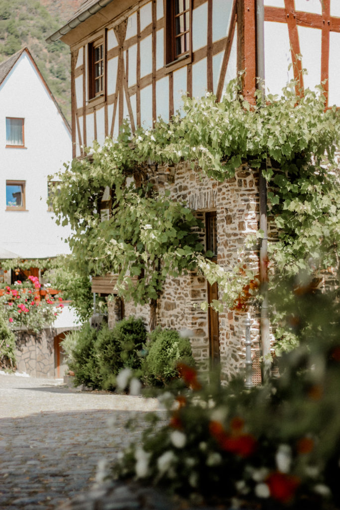
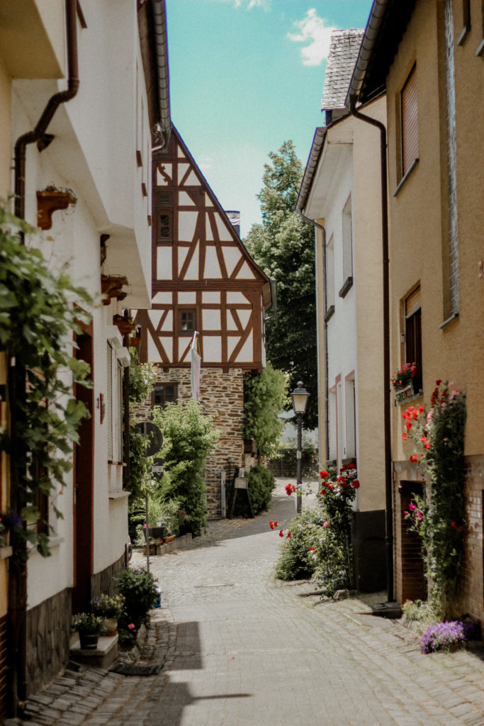
The small wine and holiday village of Bremm, which is also the starting point for many hiking trails, is located directly in the bend of the Moselle loop. If your tour leads through Bremm, I recommend you take a closer look. Because the old town center is really worth seeing. Historic half-timbered houses are lined up in the narrow streets. In the village square, fresh water gushes out of a fountain under an old linden tree and benches stand around to rest and enjoy. In summer it smells of different flowers, because everything is lovingly planted. The old parish church with the baroque altar from the 15th century is also interesting. And of course the rustic wine bars invite you to enjoy and linger. You can try the tasty and growing wines from the local winegrowers and the wine festival at Calmont takes place on the first weekend in September.
The village Ediger-Eller
Ediger-Eller is also an attractive wine and holiday resort right on the Moselle. Picturesque alleys lead past half-timbered houses, noble yards and monasteries. That is why Ediger-Eller is sometimes referred to as the “Rothenburg” on the Moselle. Outstanding gastronomy and excellent wines spoil the guests behind historic walls. The street wine festival takes place in Ediger-Eller on the 2nd weekend in September.
➤ In 2010 the village was awarded one of the most sustainable places in Germany with a gold medal at the federal level.
The Stuben monastery ruin
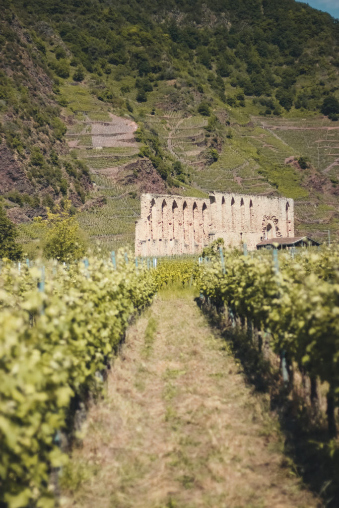
Opposite Bremm, on the large “peninsula” is the monastery ruin “Stuben”. In the middle of the Moselle loop, especially early maturing wine types thrive on a flat slope.
The Augustinian convent was founded in 1137 for virgins and widows of the noble class and after a long history, only the ruins remain today. In 2002 the old church ruin was renovated and converted into a beautiful venue. Among other things, jazz concerts, choral singing and wine tasting take place in the former nave. In summer there is an open air concert every year, which is held as part of the MoselMusikFestival. For the finale there is a spectacular firework display high above the monastery parlor.
Right next to the Stuben monastery ruins there is a small highlight for all water lovers. Hidden behind thick bushes and trees is a small natural sand beach that invites you to swim and linger in summer.
➤ The ruin can also be rented for special celebrations. You can find information here.

The official website of the Moselle
You can find more information about the Moselle here. And now have fun hiking. ツ
